 Trailhead
TRAILHEAD
Millions of years of geology, ecology, and fire history — translated into everything a hiker needs to know before the first step.
What You’re Actually
Walking Through
Five living systems stacked in 6,000 vertical feet. Rangers monitor each one in real time. This is the same data they see.
Atmosphere & Climate
8,000–12,600 ftLightning strikes an average of 14,000 times annually above the rim. Rangers deploy 23 weather stations tracking micro-climate shifts that can change trail conditions in under 40 minutes.
"We pulled two hikers off the North Kaibab last July when our Atwood Station clocked a 28°F drop in 18 minutes. The data saved them." — Ranger M. Okafor
Canopy & Forest
6,800–8,200 ftPonderosa pine forests cover 61,400 acres of the South Rim plateau. Following the 2010 Outlet Fire, rangers seeded 2,200 acres with native grass mix. Camera traps now record 847 mule deer movements per week through the recovering burn corridor.
"The first elk calf born in the post-fire meadow was documented in 2018. That meadow didn't exist before the burn." — Wildlife Ecologist Dr. T. Runningwater
Understory & Meadows
5,400–6,800 ftSixty-three species of wildflower bloom in sequential waves from April through October. Rangers document the phenology (bloom timing) of each species against temperature and snowpack data to track how climate shifts are compressing bloom windows.
"Cliff Rose now blooms 11 days earlier than in 1985 records. That's not a small shift — it's the whole pollinator calendar moving." — Botanist J. Whitehorse
Waterways & Springs
2,480–5,400 ftThe Colorado River carries 400,000 tons of sediment daily. Vasey's Paradise spring discharges 600 gallons per minute from Redwall Limestone aquifer. Rangers test 14 water quality points weekly — visitors see the same data.
"Bright Angel Creek is the park's circulatory system. When its temperature rises 2°C, we see it in the humpback chub population within 6 weeks." — Aquatic Ecologist P. Naranjo
Bedrock & Geology
Canyon Floor · 2,480 ftThe Great Unconformity at river level represents a 1.2 billion year gap in the rock record — the canyon's most profound mystery. Rangers and geologists have mapped 40 distinct rock formations. The Inner Gorge's Vishnu Schist is among the oldest exposed rock on Earth.
"You can put your hand on 1.84 billion years at the river. That's not metaphor — that's the actual age of the rock you're touching." — Geologist Dr. A. Clearwater
Who Are You on This Trail?
The same canyon reads differently depending on what you carry and what you’re looking for. Find your path.
Rim-to-Rim Crossings
Retired couples plotting the full traverse
Phantom Ranch reservations for Sept 2026 open March 1. Set a calendar alert — they sell out in 6 minutes.
Current Access · Rim-to-Rim Crossings
What the Canyon
Teaches You
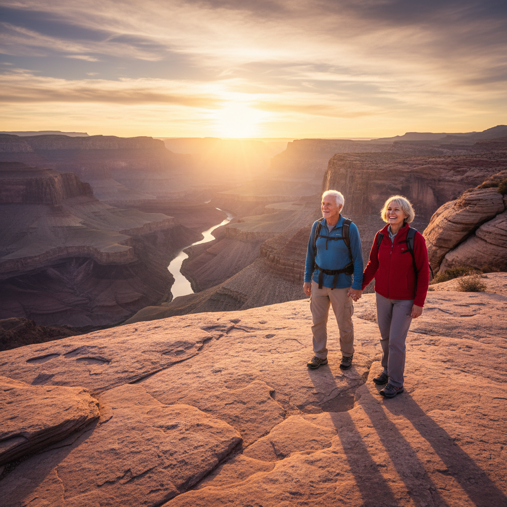
Margaret & Dale Thornton
“We'd done the Appalachian Trail section by section over 15 years. The canyon was supposed to be a retirement trip. It became a geology education. We spent two hours at the Great Unconformity just sitting with the 1.2 billion year gap. No trail has ever made us feel both smaller and more curious at the same time.”
Your Trail Planner,
Built for Your Month
Tell us when you’re visiting. We’ll send a personalized PDF with trail conditions, sunrise times, packing checklists, and permit windows matched to your season.


Download Your Trail Planner
Two fields. Personalized to your visit. No spam — ever.